Currently, IEC standards hold that the accepted method for gathering wind data involves the installation of in-situ measuring devices on meteorological masts, or met masts.
But the study carried out by Ecofys at a test site in Leylstad, Netherlands, found that the lidar "is suitable for field measurements as a replacement for cup anemometers in flat terrain".
Ecofys went on to say that "the calculated uncertainty in the lidar wind speed measurements is ... in line with high quality anemometry [wind measurement]".
The lidar was also found not to be affected to a significant degree by external factors such as rain and vertical wind speeds.
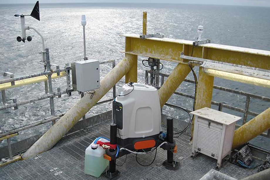
Lidar technology, which uses lasers to measure distance and speed, is used to measure wind characteristics onshore and on fitted to platforms offshore.
It can be used to measure wind from 10 metres up to 300 metres above ground to inform wind quality studies during the development and operation of wind farms.
The devices can be linked up so that the wind turbine's control systems knows in advance, the nature of approaching wind and as such can optimize its operation.
.png)

.png)