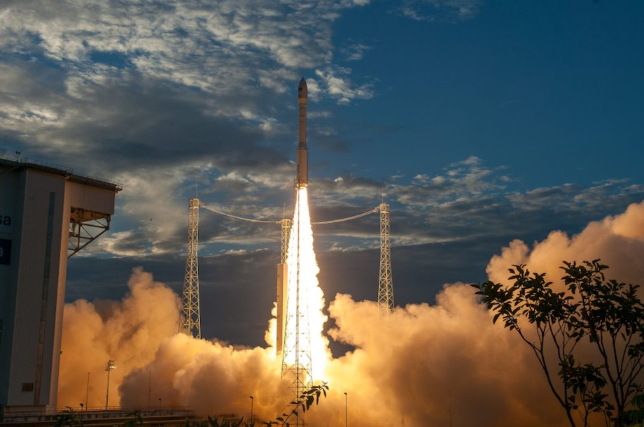
The European Space Agency’s (ESA’s) Vega rocket carrying the Earth Explorer 1.36-tonne Aeolus satellite lifted off from Europe’s spaceport in French Guiana on the north-east coast of South America on 22 August.
Vega established contact with the Troll ground station in Antarctica 70 minutes after launch
It carries the Aladin instrument which includes laser technology that beams down pulses of ultraviolet light into the atmosphere to profile the earth’s winds – a new approach to wind measurement from space, the ESA stated.
Aladin profiles the lowermost 30km of the atmosphere, giving scientists wind speed data in near-real time.
The agency added that this will help scientists better understand how the wind influences the exchange of heat and moisture between the Earth’s surface and the atmosphere – important aspects for understanding climate change.
Aeolus will also help to create better wind profiles and improve weather forecasting, the ESA added.
Na het gebruik van lidar voor onderzoeken voor op land en op zee wordt het nu ook vanuit de ruimte ingezet voor onderzoek naar wereldwijd.
— NWEA (@NWEAWind)
Jan Wörner, director general of the ESA, said: "It will fill a gap in our knowledge of how the planet functions and demonstrate how cutting-edge technology can be used in space."
Controllers at the ESA’s space operations centre in Darmstadt, Germany will spend the next few months calibrating the mission as part of its commissioning phase.
.png)

.png)