Italy's new offshore wind map
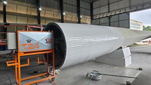
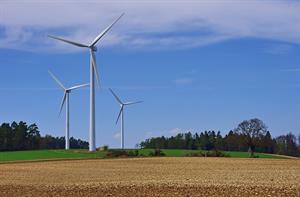
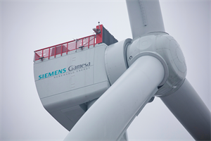
Italy has a new offshore wind map. It pinpoints the best winds off the western and southern coasts of Sardinia and Sicily as well as the southern Adriatic and Ionic Seas, according to the mapmakers, the Atmospheric and Climactic Science Institute of Italian research agency Consiglio Nazionale di Ricerca (ISAC-CNR). Alfredo Lavagnini of ISAC-CNR says that Italian state utility Enel and other companies have asked about the map as they look to a possible source of growth in the long term. No one has immediate plans for development, however, and Italy has no offshore wind capacity. The map, produced in collaboration with Rome's Environmental Protection Agency and the University of Camerino, began with an analysis of wind circulation models from the European Centre for Medium-Range Weather Forecasts, based in Reading, England. The final results were compared with experimental measurements taken from buoys, islands and ships in the various regions of the Mediterranean Sea. Researchers found few discrepancies between their modelling and measured data. Lorenzo Battisti, a professor at Italy's University of Trento, says that general studies on wind potential like this one must be followed up with dedicated on-site wind studies for two to three years. Battisti says Italian offshore development to date has been impeded by a number of factors, including a lack of domestic know-how in the sector, restrictions imposed to protect the country's coastal areas and the depth of Italy's seabed -- which recedes quickly to hundreds or even thousands of metres. Some Italian port areas could serve as sites for near-shore capacity, he notes.
.png)


.png)