The study, which used data from NASA satellites, has concluded that the potential is "more than positive", according to Cristian Mattar, director of LAB.
It finds capacity factors ranging from 40% in the south of the country's waters to 10-12% in the north, Mattar said, adding that "on average, the north has a potential equivalent to 225W per square metre, the central area, 657W per square metre, and the south of 745W per square metre".
Explaining how the study was carried out, Mattar said: "The satellite delivers wind fields at a height of ten metres above sea level. The wind speed was estimated for each 25-square-kilometre unit known as a pixel. Each of these pixels has two daily values estimated by this wind sensor. These values have been measured between 1999 and 2009, therefore, there is sufficient to estimate the wind potential in each of these pixels."
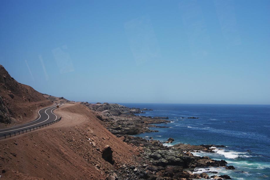
While there are currently no concrete plans to develop offshore wind along Chile's 5,000-kilometre coastline, Mattar said that he expects the study to lead to practical evaluations of the possibility of development's in the country's waters.
.png)

.png)